TransfăgărășanFăgăraș Mountains, Romania · 151 km · 2,042 m
Făgăraș Mountains, Romania · 151 km · 2,042 m
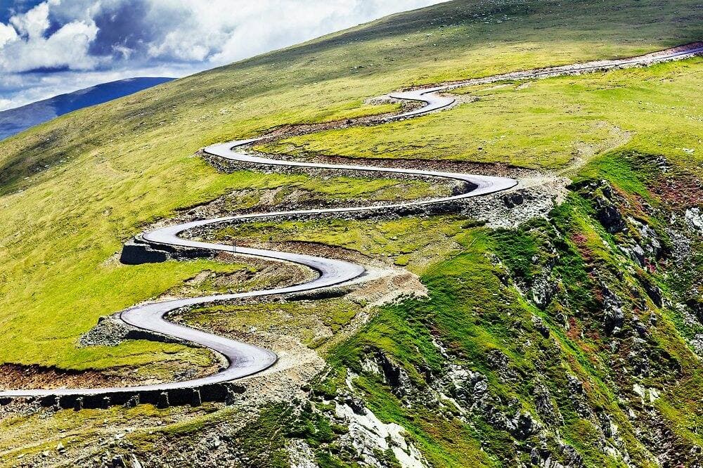
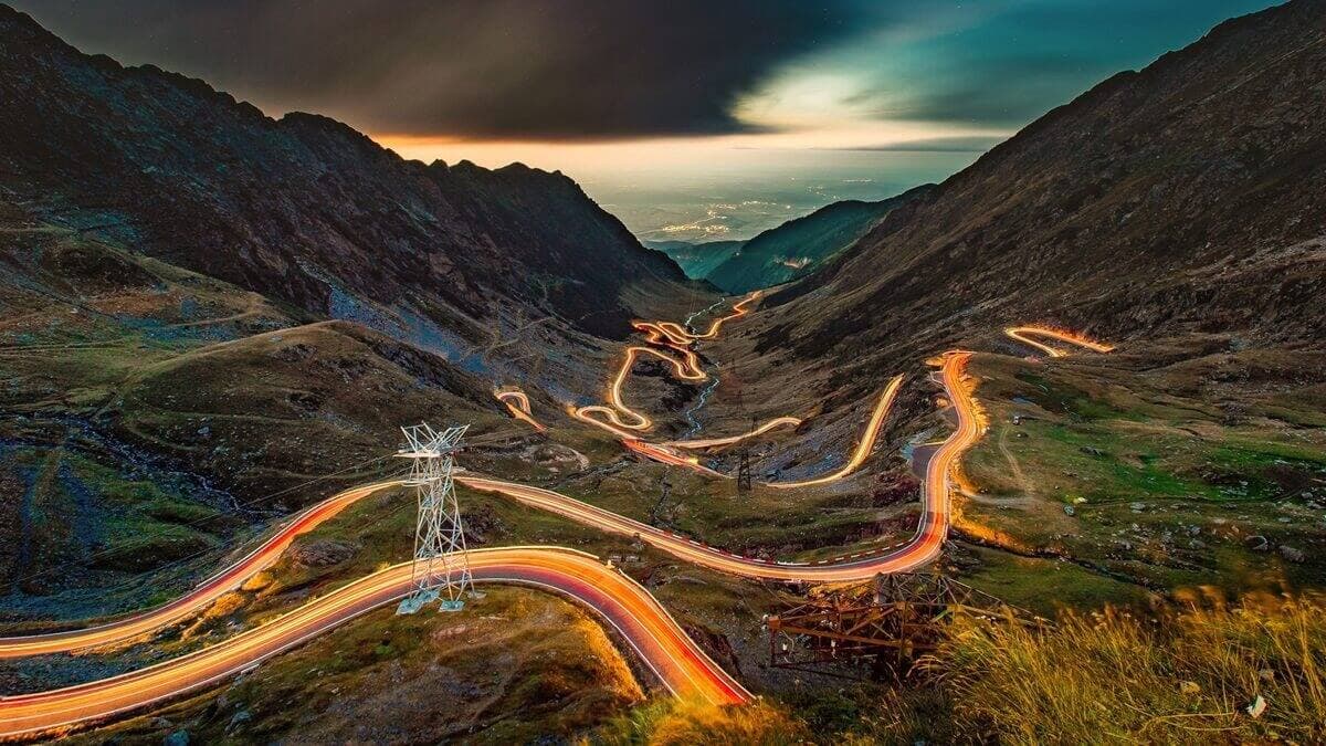
The Transfăgărășan crosses the Făgăraș Mountains on Romania's DN7C, climbing from the Argeș valley to the glacial lake at Bâlea before dropping into Transylvania. Built in the 1970s as a military road, it packs 151 kilometres of switchbacks, tunnels and viaducts into a crossing that tops out at 2,042 metres.
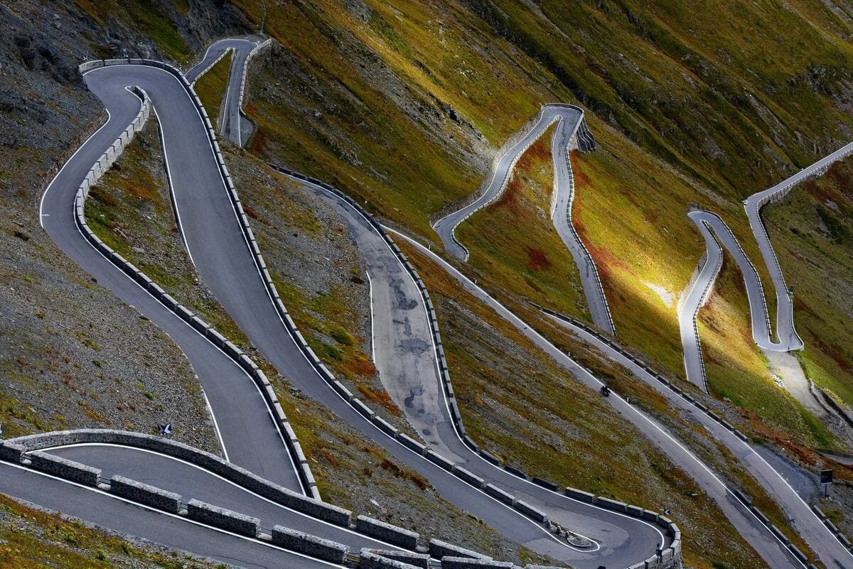
The southern ascent from Curtea de Argeș is the technical half — tight, walled hairpins with poor sightlines and gravel washed onto the surface after rain. Above Bâlea Lac the road runs through an unlit 884-metre tunnel that stays cold and wet all summer. Traffic peaks between late morning and late afternoon in August, when coaches and cyclists share the same hairpins, so an early start is the difference between a great ride and a queue. Fuel up in the valley: there is nothing on the pass itself.
Record the route, share it with your club and ride with SOS cover. Free on iOS and Android.